by Tom Castaldi
Headwaters Park was created by the citizens of Fort
Wayne through their donations, ideas, and labor as a means of flood control in
the city. Earlier designs had a similar purpose. George Kessler’s plan of 1912 envisioned a
green space for recreation in the great bend of the Saint Mary’s River to
absorb springtime floods, as did the park design submitted to the city in 1927
by Robert Hanna. In 1984, the Indiana Department of Transportation also
developed a plan for the downtown flood plain.
 |
| George Kessler |
The earliest recorded flood in the Three Rivers area occurred in 1790, four years before there was a Fort Wayne, when the Indian settlement of Kekionga suffered from the disastrous combination of a rapid spring thaw and heavy rains. In the years before dikes were built, the average flood level was about fourteen feet, but after engineers built dikes, to protect riverside neighborhoods and businesses, the flood levels rose steadily.
 | ||||
| Dam on the St. Joseph River |
By the 1920s floods were more frequent and the average
flood level jumped to nearly twenty feet. The worst flood on record was in
March 1913, when the Maumee rose overnight from seven feet to over twenty-six
feet. The dikes along the Lakeside neighborhood gave way. In the end, fifteen
thousand people were made homeless and six people lost their lives. Mayor Jesse
Grice organized a heroic relief effort and martial law was declared with orders
given to shoot looters. Fort Wayne saved
itself then, as it would do again in 1982 when an immense volunteer effort
preserved the dikes against the second-highest flood waters on record.
 |
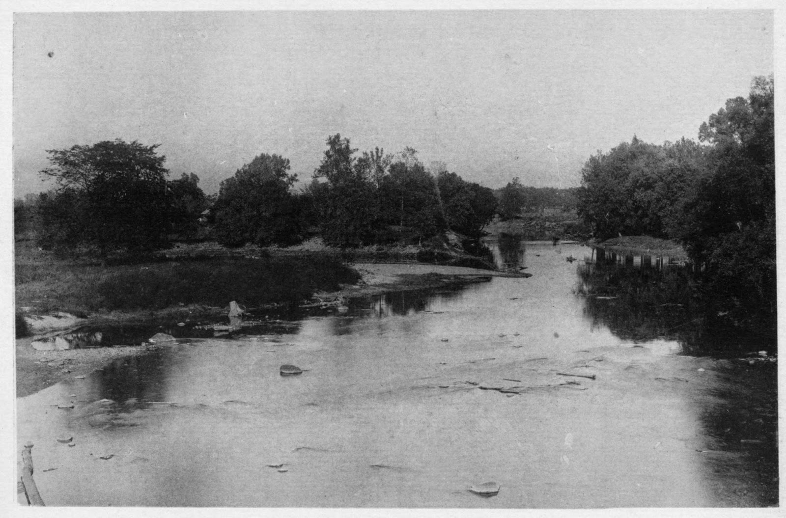
| Maumee River from Main Street Bridge |
In the wake of these disasters, plans for allowing
flood waters to wash across the bend in the Saint Mary’s River assumed
increasing importance. At the ground-breaking ceremony on October 26, 1993,
Headwaters Park was heralded as the premier “lasting legacy” of the Fort Wayne
Bicentennial celebration and a monument to the cooperative efforts of all
segments of the “City That Saved Itself.”
 |
| Map of Headwaters Park c. 2006 |
Governor Frank O’Bannon was on hand on October 22,
1999, for the 205th anniversary of Fort Wayne to help dedicate the
park,. On January 1, 2000, the Headwaters Park Commission turned operations of
the project over to the city’s Park’s Department. Later that same year, the non profit
Headwaters Park Alliance was given full-time management responsibility for the
space by the City of Fort Wayne’s park board. In doing so, a public-private arrangement
was established bolstering a spirit of individual citizens working together
with local government.
Today, Headwaters Park has become the place where
people come together for festivals, concerts and other special activities. Ice
skating attracts the young at heart in the cooler months and children play in a
dancing waters fountain in the warm summer days. Here too stand fourteen
Heritage Trail markers that celebrate the headwaters where people have gathered
for centuries.
Originally published in Fort
Wayne Magazine “Along the Heritage Trail with Tom Castaldi” – August 2008 No. 45
Allen
County Historian Tom Castaldi is author of the Wabash & Erie Canal Notebook
series; hosts “On the Heritage Trail,” which is broadcast at 6:35 a.m., 8:35
a.m. and 6:30 p.m. Mondays on WBOI, 89.1 FM; and “Historia Nostra” heard on
WLYV-1450 AM and WRRO 89.9 FM. Enjoy his previously published columns on the
History Center’s blog, “Our Stories,” at history centerfw.blogspot.com.


No comments:
Post a Comment